Madeira
We have been in Madeira for almost a week now. It is a very impressive island for many reasons.
It is a mountainous island roughly 58 kilometres by 23 kilometres in size. There are essentially no level areas on the island than extend for more that 100 metres or so. ????
The airport is built along the coast over a deep ravine. Almost half of the airport is supported on concrete columns, including a large part of the runway and taxiways. According to a report, it is the 7th most dangerous airport to land on. There is no room for error.
Here are a couple of quick shots that were taken from the highway that runs under the airport.


On the island there is an extensive network of road tunnels. There are over 100 tunnels on 140 kilometres of roads. The longest tunnel is over 3 kilometres in length. The highway systems allows you to drive most of the way around the island quite easily but once you venture off the main road, the roads are narrow, winding and steep. Much of the time there are very tight turns, roads hardly wide enough for two cars and hills that are much more steep than those tap that would be approved in many other countries. The little Fiat we rented had a difficult time getting up some of the hills in first gear. We hardly ever got out of 3rd gear.
Another interesting engineering feat is the “levada” network that has been developed over the whole island. Levadas are water channels, many of which have been carved into the rock. They vary in size and carry the water from the highlands to the ocean. The levadas were designed to provide irrigation to the fertile coastal valleys and they are also used to produce hydro electricity. Another asset is that they help prevent flooding duro the rainy seasons. Along side the levadas are paths that can be used for hiking. There are 2170 kilometres of levada trails in Madeira. Not all have walkable paths but if you are a goal inspired walker... set out to walk as many as possible.
The evening we arrived was the start of Carnival and the big parade. It was pretty exciting to watch the activities. Although it was quite crowded we managed to find a good view point a
Though I didn’t get any good photos.

We came to Madeira with the intention of hiking as much as we could. On the first day we decided to stay close to the city of Funchal, where we rented an apartment for the week. We had been told that the tropical gardens were a nice place to visit with good views of the city. From a location near the coast one can take the cable car up to the gardens but we decided that we would walk up, since it was only 3.4 K and we only had to follow the road beside our apartment building. It wasn’t long before we realized that we had set ourselves up for a greater challenge than we anticipated!
The road went straight up the hill. There were no alternate routes that would allow one to reduce the grade. We just gritted our teeth and kept going. In 3.4 K we climbed 600 metres in elevation. With about 500 metres to go we stopped on a bench for a rest. When we got to the top I realized they my hat was missing and had to back down to retrieve it from the under the bench. It was quite the workout! After some lunch at the top we decided to take the cable car back down.
 |
| Looking down from the cafe |
 |
| on the ride down |
The next day we opted to select one of the easier hikes out along a point on the south east coast, called Ponta Sao Lourenço. It is a 6 K hike out and back. This area is quite arid compared to most of the other parts that we encountered. It is also very rugged and the trail was far from level. It turned out that the “easy” trail was quite challenging at times. Lots of up and down.
 |
| The destination is the hill over the small arch that you can see in the distance. |
 |
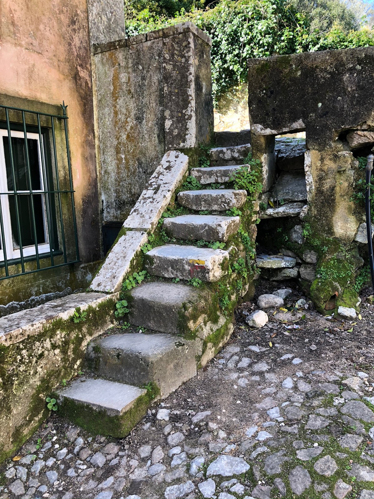
| Nearly all the trails yah we have encountered care roughly paved with stone stairways. |
 |
| The coastline is very rugged. There are few beaches and the ones that exist are very rocky. |

The route undulates with steep climbs and descents and the elevation is a problem for some. The peak is at 1862 metres. Like all the trails we encountered here, the trails are roughly paved with stone and steeper inclines are surfaced with rough stone stairs. There are railing at times as well.

This trail we did in the afternoon after spending the morning exploring some towns on route to the trail head. Although we had rented a car for the week, we decided to rent a motorcycle for a couple of days. On the narrow, steep and winding roads a motorcycle is much more fun. We rented a new Suzuki 250 V-Strom for 29 euros per day, tax and insurance included. It was a great bike for the situation.
 |
| From the top of Ruivo looking toward Areeiro |
 |
| Looking back along the route. Believe it or not, there was a house (now cafe) up there with no access. |
Here are a few shots of Porto da Cruz, a small town we stopped in on the way to the trail head. The town was pretty empty. It is not high tourist season here.

Above it’s a photo of the town square. On the left is the moto that we rented. The weather on the island is changeable. Different parts experience different weather conditions. On the way up to the high land we passed through the cloud.


On Tuesday we headed out early to hike another popular route called. “ 25 Fontes” is On this hike you hike down into a canyon filled with pools and waterfalls. Most people take a shuttle from the parking lot on the highway two kilometres to the start of the trail. The shuttle bus doesn’t run until 10 am. It the trail is open earlier. We hopped on the moto at 8:30 for the 45 minute ride to the parking lot and walked down the shuttle road to the trail head.
We even had time for a quick, yet expensive, coffee at the trail head cafe and still got a good jump on the crowd. This was a pleasant 4.5 K walk in though some interesting terrain. The route followed the levada as you can see in the photos. There were rainbow trout in the levada. If you were quick you might be able to grab one, but they could move very fast.
 |
| A view from the shuttle road walking down to the trail head. |
Below are several photos from the 25 Fontes trail

 M
M


After hiking this trail we rode the moto to the west end of the island along a high ridge. The views were spectacular with a layer of cloud below us.

 |
| The road and parking area was open range. This young cow was looking for a parking spot. |

This is the Suzuki V-Strom 250 that we rented. It was the perfect bike for the island. The twin cylinder motor had plenty of power. We cruised at 100 kph on the main highway with do difficulty .
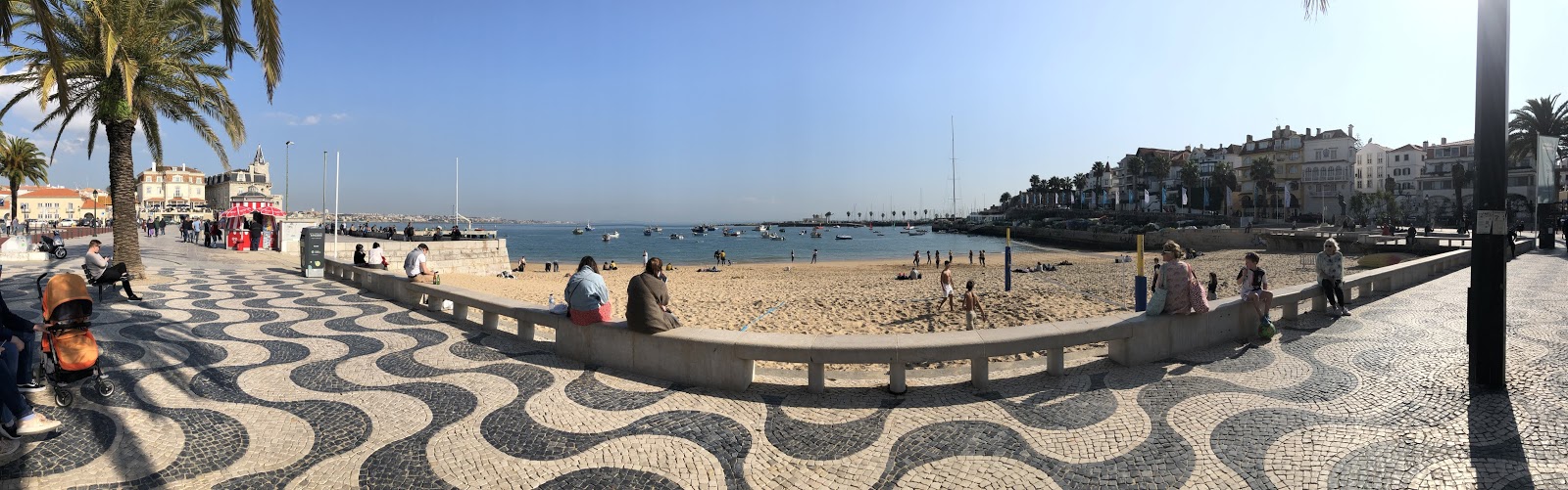
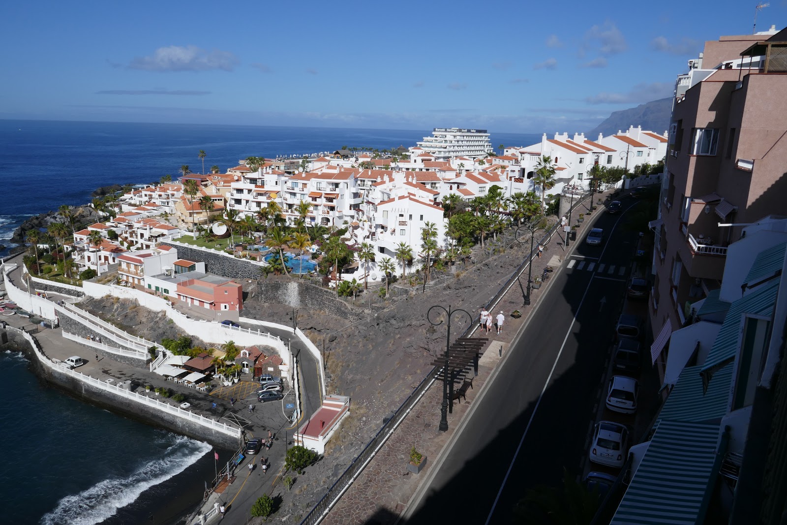
Tomorrow we are heading to Lisbon for an overnight stop before continuing on the Malaga on Sunday. We had a nice long coastal stroll today and stopped for sangria before coming back to the apartment for supper.

Cheers
posted by Bernie & Linda @ 12:36 pm
0 comments
![]()
![]()


